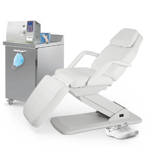
90,00€
DeliveryTue, 06 Aug - Thu, 08 Aug
+14,00 €shipping cost - sent from Greece
Sold by
Skroutz Buyers Protection
Set the delivery location to see products according to your choice.


 AustriaEnglish
 BelgiumEnglish
 BulgariaБългарски
 CroatiaEnglish
 CyprusΕλληνικά
 CzechiaEnglish
 EstoniaEnglish
 FinlandEnglish
 FranceEnglish
 GermanyDeutsch
 GreeceΕλληνικά
 HungaryEnglish
 IrelandEnglish
 ItalyEnglish
 LatviaEnglish
 LithuaniaEnglish
 LuxembourgEnglish
 MaltaEnglish
 NetherlandsEnglish
 PolandEnglish
 PortugalEnglish
 RomaniaRomână
 SlovakiaEnglish
 SloveniaEnglish
 SpainEnglish
 SwedenEnglish
© 20[0-9]{2} Skroutz SA All Rights and Lefts reserved. FAQ | Terms of use | Privacy Policy | Cookie Policy


Sold by
Skroutz Buyers Protection

Scientific Books
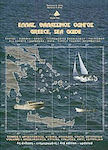
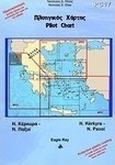


Hobbies & Leisure Books
Hobbies & Leisure Books


Hobbies & Leisure Books


Prices are calculated for:Luxembourg, Other Payment Options
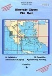
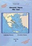
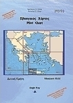
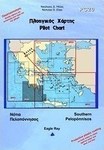
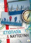
This book is essentially a "Guide" (leads, directs the journey), in a format that simplifies the information of the necessary elements
- that make the journey comfortable, safe, and enjoyable
- for safety, refueling, repairs, entertainment, and general care, at the port/harbor
- for tourism and water sports
It is based on the presentation of information with images primarily and secondarily with concise texts, close to the relevant location.
For this work, nautical charts from the Hydrographic Service of the Hellenic Navy were used, as well as lighthouse diagrams created by the author. The information mentioned on them is data collected by the author himself, from fishermen (mostly), captains of local line ships, boat captains, amateur sailors in general, local authorities, his own visits to these places, as well as relevant literature/maps on these topics.
Specifications are collected from official manufacturer websites. Please verify the specifications before proceeding with your final purchase. If you notice any problem you can report it here.